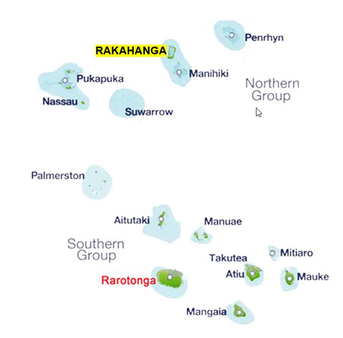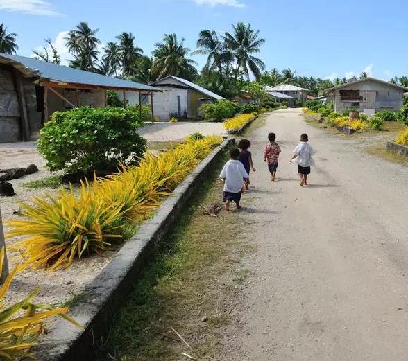
"This atoll ....has one crushed-coral road. It winds through fishponds and taro swamps; pigpens and palm trees; colourful houses with pareu for doors; a cemetery in the forest with tombs big as houses; dense thickets you can get lost in and white-sand beaches you can have all to yourself"
Like its nearest neighbour, Manihiki 42 kms south, Rakahanga is so low lying (4.2 metres/13.7 ft above sea level at its highest point) it will get washed away if global warming causes sea levels to rise even a little

The only way to reach Rakahanga (if you haven't got a yacht or boat of your own) is via neighbouring Manihiki and hoping one of the islanders there will be visiting on a tiny inter-island boat. It's definitely not a journey for the faint hearted as seas can be difficult and the boat really is small
"If there are places left where a man can grow old contentedly, it is on some such quiet, drowsy atoll, where today is forever and tomorrow never comes; where men live and die, feast and sorrow, while the wind and the waves play over the wet sands and gleaming reefs"
Australian author, Julian Hillas (aka Dashwood) lived on Rakahanga during the 1940s. From his book, 'South Seas Paradise'
Photo: Kerry Harding

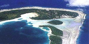
Rakahanga is traditionally called Tapuahua. There are two main islands and seven motus or islets in its 33m deep lagoon. On the east these are: Akaro, Motu Ngangie, Huananul, Motu Mahuta and Motu Okakara. On the southwest side the islet of Te Kainga ("the home") guards the widest passage into the lagoon. It's also the original dwelling place of the first residents.
Aerial pictures top and here courtesy of Ewan Smith, Air Rarotonga

The island is heavily reliant on imported supplies such as food, fuel and building materials, but cargo ships visit only two or three times a year. The main source of drinking water is rain water. Each household has some water storage capacity and there are also community water tanks. There is a hospital in Rakahanga with a nurse practitioner and also a public health office. The environment is largely untouched and is generally in a pristine state. The island is covered with thick lush coconut trees
Summary of extracts from a report by the Cook Islands National Environmental Service
Unlike Manihiki and Penrhyn, the Rakahanga lagoon isn't suitable for pearls. Huge coconut crabs are its gems, and fishing is good on the outer reef. Large sea turtles abound there too. The critically endangered green turtle used to be a tasty treat for islanders but strenuous efforts are now made to protect nests and eggs and keep the beaches clean for them. Islanders are expert fishermen and each January a tuna fishing contest takes place. Boats return with 200 or more fish a day. Vegetation is abundant, large breadfruit trees line village paths and coconut palms and pandanus trees thrive
Turtle Photo: : Cook Islands Natural History and Heritage website/Gerald McCormack
A coarse dry taro called puraka or swamp taro is eaten by locals, but considered bland and starchy by outsiders. One European who lived on Rakahanga was clearly not impressed; this "recipe" is reproduced in his "Cook Islands Companion" mentioned above
"Cut up the puraka into small chunks about the size of a thumb. Put them in a pot of boiling water, along with a coral rock about as big as your hand, and cover the pot. Cook it all for three hours, adding some salt and pepper every hour or so. When the three hours are done, drain away the water, throw away the puraka and eat the rock. It will still have more flavour than the puraka!"

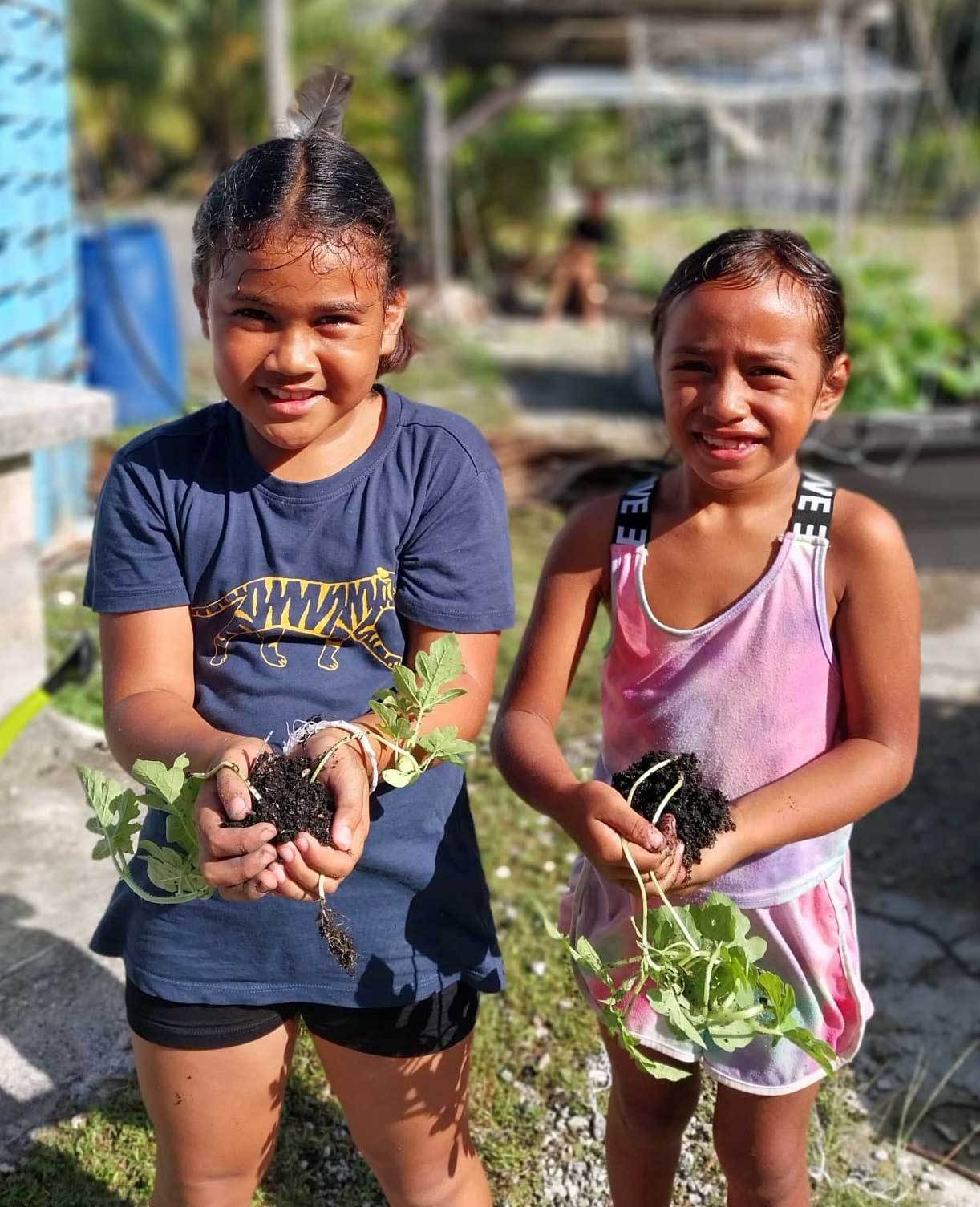
The 14 children in the island school are helping to promote healthy eating by planting their own vegetables. And the school principal, Maggie Purea-Taripo hopes Rakahanga's adults will follow their example. It's thanks to an initiative by the South Pacific Community (SPC) and the Cook Islands Ministry of Agriculture who've provided the island with three innovative raised bed cubes which use only a fraction of the water needed in conventional agriculture. The Ministry says the goal is "to improve nutrition leading to healthier and productive lives for our people". Photo: Cook Islands News